Humboldt State University, Arcata, California
Hand-colored early 20th-century wall maps (2012)
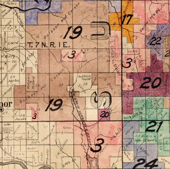
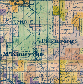
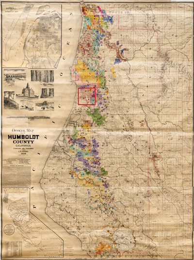
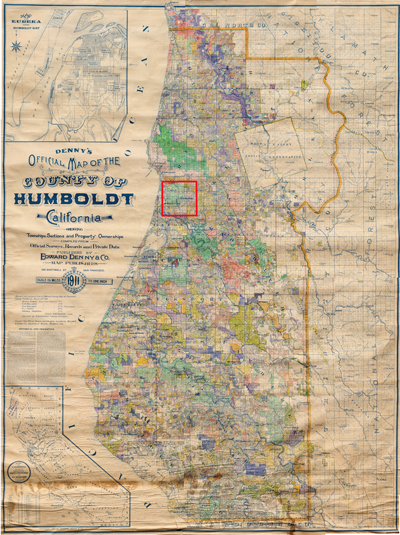
The 1898 Lentell and the 1911 Denny maps are exceptional examples of late 19th- and early 20th-century wall maps. With detailed information compiled from official surveys, records and private data, both maps show townships, sections and property ownerships, an inset map of Eureka (the county seat), and a county map of the state. They each measure 72 × 54 inches and are scaled at 1.5 miles to the inch, allowing ample space for the insertion of property owners’ names throughout the county; the large tracts of land owned by logging companies demonstrates the importance of the timber industry to this Northern California coastal area. The 1898 Lentell map was adapted by the County Board of Education for use in public schools.
Right, Official Map of Humboldt County, California, San Francisco: J.N. Lentell, 1898; and Denny’s Official Map of the County of Humboldt, California, San Francisco: Edward Denny & Co., 1911. Below, details of the same area from each map, showing the rapid development of the region over 13 years.